


Now work will start on site before the end of the year. BMM will build linear defences along an 8km stretch of the River Aire upstream of Leeds Station.
Three key areas will get improved defences in step one of phase two of the city flood defence project.

At Leeds Industrial Museum at Armley Mills, there will be new protective walls, a new higher bridge to improve water flow and two new control structures on the goit which can close when the river levels become too high.
A new structure will also be built at Kirkstall Abbey in front of Kirkabbey Sluice Gates which will limit the amount of water during high river levels going down the goit channel.
The proposal at Kirkstall Meadows is to transform 2.4 hectares into a wetland habitat and also feature kingfisher banks, otter holts and wetland scrapes for fish. A new flood embankment will reduce flood risk to the adjacent railway line.

Landscaping works will also be carried out to benefit the environment and wildlife, and to improve access to amenities. This will include two new bridges, improvements to footpaths and new natural areas.
Talks are continuing over securing the required funding needed to complete the £112m next element of the phase two scheme.
This will lift the whole scheme up from a one-in-100 year event to a one-in-200-year level of protection.

The £50m phase one of the scheme, featuring moveable weir technology to protect Leeds city centre and downstream to Woodlesford, was completed in 2017.
BAM Nuttall CEO Steve Fox said: “Our teams at BAM Nuttall and Mott MacDonald are proud to be awarded the contract for the second phase of Leeds Flood Alleviation Scheme, building on our strong partnership with Leeds City Council and the Environment Agency.”
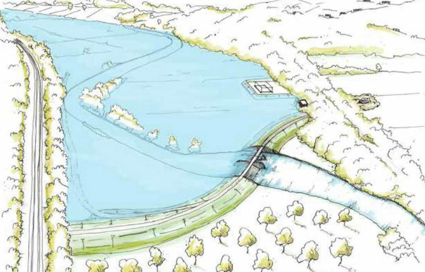
Calverley attenuation area: New flood storage area and control structure.
Once the further funding has been secured and planning approval received for it, step two of the two-step approach would see the creation of a flood storage area near Calverley, with moveable weir technology used to allow water to be stored and then be released slowly back into the river in a controlled way.
Carrying out the second step would reduce the risk of flooding along the 20km stretch of the River Aire from the outer ring road to the west of the city, through the city centre and past Stourton.