

Costain experts said Google Earth is easier for all members of the team to understand than CAD software.
James Heaton, Costain BIM Technician, has devised a way to export the scheme’s 3D model information to Google Earth.

This can then be viewed and shared with all Google Earth users on the project, from administrative staff to senior engineers.
Heaton said: “Publishing it on Google Earth makes it very accessible.
“Not everyone is familiar with CAD software, which can be a bit intimidating, but everyone knows how to use Google Earth.”
He added: “Information comes from many different parties and in different formats. Now the project team has it all in one place, and they will also be able to add more data as the job progresses.
“It’s been very useful for new starters: they can just load up Google Earth and instantly see where we are on the project.”
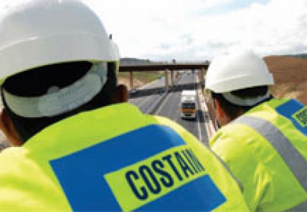
The Highways Agency projec began in November and includes construction of a new section of dual carriageway, and de-trunking to the existing A556 trunk road between M6 Junction 19, near Knutsford, and M56 Junction 7 near Bowdon.
Work is expected to be complete in winter 2016/2017.

David Owens, Costain Design and BIM Manager, said: “This is a long, thin linear scheme spread over 7.5km with lots of interfaces with features such as local side roads.
“We’re also working in an environmentally sensitive area with populations of newts and badgers and the tool show us exactly where they are.
“We’ve also been able to add information such as the location of the two temporary compounds.
“I believe it’s a tool that could prove very useful on any linear project, be it road, rail or utility.”